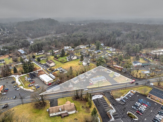
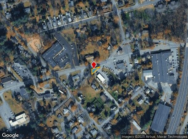
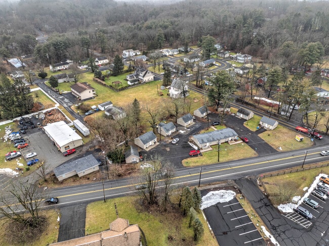
Property Record
1961 W Main St, Stroudsburg, PA 18360
NEARBY LISTINGS FOR SALE OR LEASE
Property Detail
1961 W Main St
East Stroudsburg, PA
Monroe
17.12.7.21
Pennsylvania
Duplex
0.13 AC
X
Monroe County
42089C0426E
Philadelphia
920 SF
DEMOGRAPHICS near 1961 W Main St
1 Mile
3 Mile
5 Mile
2024 Total Population
3,688
24,971
46,551
2029 Population
3,759
24,799
46,048
Pop Growth 2024-2029
+ 1.93%
(0.69%)
(1.08%)
Average Age
44
42
42
2024 Total Households
1,510
9,648
17,224
HH Growth 2024-2029
+ 2.19%
(0.42%)
(0.89%)
Median Household Inc
$56,666
$61,682
$76,057
Avg Household Size
2.40
2.40
2.50
2024 Avg HH Vehicles
2.00
2.00
2.00
Median Home Value
$206,287
$241,560
$242,483
Median Year Built
1980
1975
1981
Nearby Places
Map Layers
Map Styles
 Street
 Aerial
- Restaurants
- Banks
- Shops
- Fitness
- Groceries
PUBLIC TRANSPORTATION
AIRPORT
Lehigh Valley International
DRIVE
WALK
Distance
Lehigh Valley International
46 min
30.1 mi
Freight Ports
Maher Terminal
DRIVE
WALK
Distance
Maher Terminal
90 min
71.9 mi
SALE & LEASE HISTORY
LISTING DATE
SALE/LEASE

Jan 31, 2024
For Sale
Nearby Properties
Address
Land Use
TOTAL SIZE
Lot Size
Zoning
Address
Land Use
TOTAL SIZE
Lot Size
Zoning
382,084 SF
43.31 AC
C-2
Address
Land Use
TOTAL SIZE
Lot Size
Zoning
225,935 SF
3.74 AC
IM
Address
Land Use
TOTAL SIZE
Lot Size
Zoning
265,064 SF
107.97 AC
R-1
Address
Land Use
TOTAL SIZE
Lot Size
Zoning
102,240 SF
34.13 AC
R-2
Address
Land Use
TOTAL SIZE
Lot Size
Zoning
254,320 SF
0.23 AC
IU
Address
Land Use
TOTAL SIZE
Lot Size
Zoning
96,316 SF
34.38 AC
C-2
Address
Land Use
TOTAL SIZE
Lot Size
Zoning
48,796 SF
5.69 AC
C-1A
Address
Land Use
TOTAL SIZE
Lot Size
Zoning
91,431 SF
Address
Land Use
TOTAL SIZE
Lot Size
Zoning
85,940 SF
16.19 AC
C-2
Address
Land Use
TOTAL SIZE
Lot Size
Zoning
140,177 SF
16.16 AC
C-1
Address
Land Use
TOTAL SIZE
Lot Size
Zoning
64,736 SF
1.53 AC
MU-B
Address
Land Use
TOTAL SIZE
Lot Size
Zoning
104,753 SF
24 AC
C-2
Address
Land Use
TOTAL SIZE
Lot Size
Zoning
216 SF
109.59 AC
S-1
Address
Land Use
TOTAL SIZE
Lot Size
Zoning
201,578 SF
21.19 AC
OM-1
Address
Land Use
TOTAL SIZE
Lot Size
Zoning
70,939 SF
2.33 AC
C-2
Address
Land Use
TOTAL SIZE
Lot Size
Zoning
113,052 SF
1.56 AC
C-2
Address
Land Use
TOTAL SIZE
Lot Size
Zoning
13,050 SF
5.96 AC
C-2
Address
Land Use
TOTAL SIZE
Lot Size
Zoning
49,848 SF
5.15 AC
C-2
Address
Land Use
TOTAL SIZE
Lot Size
Zoning
468,747 SF
Address
Land Use
TOTAL SIZE
Lot Size
Zoning
179,576 SF
1.76 AC
C-2
Address
Land Use
TOTAL SIZE
Lot Size
Zoning
52,322 SF
2.93 AC
C-2
Address
Land Use
TOTAL SIZE
Lot Size
Zoning
9,916 SF
9.63 AC
R-3
Address
Land Use
TOTAL SIZE
Lot Size
Zoning
68,039 SF
5.49 AC
R-1
Address
Land Use
TOTAL SIZE
Lot Size
Zoning
124,559 SF
8.53 AC
R-1
Address
Land Use
TOTAL SIZE
Lot Size
Zoning
115,422 SF
9.27 AC
R-1
Address
Land Use
TOTAL SIZE
Lot Size
Zoning
72,774 SF
4.26 AC
R-1
Address
Land Use
TOTAL SIZE
Lot Size
Zoning
39,879 SF
2.91 AC
C-2
Address
Land Use
TOTAL SIZE
Lot Size
Zoning
8,554 SF
194 AC
C-3
Address
Land Use
TOTAL SIZE
Lot Size
Zoning
60,828 SF
1.18 AC
IU
Address
Land Use
TOTAL SIZE
Lot Size
Zoning
39,635 SF
4.78 AC
C-2
The World's #1 Commercial Real Estate Marketplace
Connect with us
© 2025 CoStar Group
The information above has been obtained from sources believed reliable. While we do not doubt its accuracy we have not verified it and make no guarantee, warranty or representation about it. It is your responsibility to independently confirm its accuracy and completeness. Any projections, opinions, assumptions, or estimates used are for example only and do not represent the current or future performance of the property. The value of this transaction to you depends on tax and other factors which should be evaluated by your tax, financial, and legal advisors. You and your advisors should conduct a careful, independent investigation of the property to determine to your satisfaction the suitability of the property for your needs.